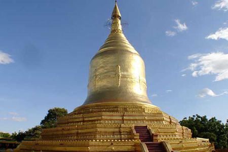
01.06.2561 Pathein District is a district of Ayeyawady Region (Division), Myanmar.
01. Pathein District is a district of Ayeyawady Region (Division), Myanmar.
******************************************************************
02.
03.
04.
05.
Pathein District
| Pathein District ပုသိမ်ခရိုင် | |
|---|---|
| District of Ayeyarwady Division | |
| Coordinates: 16°45′0″N 94°30′0″ECoordinates: 16°45′0″N 94°30′0″E | |
| Country | Myanmar |
| Division | Ayeyarwady |
| District | Pathein |
| Area | |
| • Total | 28,230 km2 (10,899.8 sq mi) |
| Population (2014) | |
| • Total | 1,630,716 |
| Time zone | MST (UTC6:30) |
Pathein District (Burmese: ပုသိမ်ခရိုင်) is a district of Ayeyawady Division, Myanmar. It is located around the city of Pathein and includes the urban area of it. The area of the Pathein District is 10899.8 km². Its population was 1,630,716 in 2014.[1]
Townships[edit]
The district consists of the following townships:
- Pathein Township
- Kangyidaunk Township
- Thabaung Township
- Kyonpyaw Township
- Yekyi Township
- Kyaunggon Township
- Ngapudaw Township[2]
Cities[edit]
The district contains 9 cities:
It contains 48 wards, 519 village groups and 2963 villages.
References[edit]
- ^ Myanmar at GeoHive
- ^ http://www.mrtv3.net.mm/newpaper/69newsn.pdf[permanent dead link] Page 10 Column 4
| This Ayeyarwady Region location article is a stub. You can help Wikipedia by expanding it. |
******************************************************************
02.
03.
04.
05.


ความคิดเห็น
แสดงความคิดเห็น